
Winter has officially arrived and with the season comes potential for epic snowstorms. While many wished for a white Christmas or hope to create snow angels in the coming months, others would rather skip the cold precipitation that surely lies ahead. Perhaps the best way to consider snowstorms is in the rear-view mirror. These weather adventures are certainly friendlier in memory after a major storm’s wintery fury passes into history.
A look back reveals three major snowstorms that still inspire recollections forty years later.
The Cumberland Valley experiences sporadic winter weather patterns- some years are mild- other years can pack a wallop. In March of 1993, winter ended with a mighty punch. A massive system deemed the “Storm of the Century” is remembered for its size, speed, ferocious winds, and widespread snowfall.
That ’93 storm originated with tornadoes in Florida, and then it roared north along the spine of the Appalachians. Before it finished, this classic Nor’easter (with Category 3 hurricane strength) wreaked havoc in Maryland, Pennsylvania, and every other eastern state, all the way to Maine.
While snowfall totals near the Mason-Dixon Line were impressive (over two feet in some locations), even more snow fell in the southern Appalachians. At Tennessee’s Mount LeConte, 56 inches accumulated. Combined with sustained hurricane-force winds of 70 miles per hour, the snow drifted much deeper.
On top of New Hampshire’s Mount Washington, wind speed was clocked at 144 mph. Across a 550,000 square-mile USA area, trees laden with snow were no match for these fierce gusts and they toppled everywhere, blocking roads and cutting off electricity. In many locations, unlucky residents lost power for weeks.
120 million Americans were impacted by that ‘93 storm as snow fell at 4 inches per hour. For the first time in history, all major northeast airports were shut down simultaneously.

Locally, trees in Michaux State Forest were heavily damaged or destroyed; a ranger recalled it took months to re-open some forest service roads. “The power of nature is sometimes beyond comprehension; that storm was a monster.”

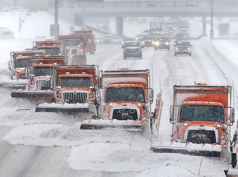
A silver lining developed from that March 12-14th 1993 “Storm of the Century”. With new technology, forecasters predicted the storm’s severity early enough to warn the public. The National Weather Service Director called that smart preparedness “a defining moment” in snowstorm prediction that would save future lives and property.
Winter weather is driven by factors that develop and influence from thousands of miles away. In El Nino years, when the Pacific Ocean’s temperature is warmer than normal, this can cause larger snowstorms back east, usually in January and February.
One such event occurred on February 11, 1983. Called the “Megapolitan” storm because it marched up the I-95 corridor from Washington to Boston, it dumped over two feet of snow across a wide area. Hagerstown received 25 inches. With the storm’s gusty winds, snow drifted up to 5 feet in exposed areas.
A Leitersburg man recalled his backyard adventure: “I decided to build a fire and went outside for some wood. Thought I knew where my firewood pile was, but had a hard time finding it. It took lots of digging, but I finally found it. Somehow, I lost a shoe in the process. I’d never seen that much snow. Then, my dog got excited, dove into a snow drift and disappeared. I had to dig around for her too.”
The cleanup after the ’83 blizzard was short-lived. Another storm, thankfully with less snow, followed a few days later.
For local residents, the storm most vivid in memory is a January 24, 2016 event named “Jonas”. By this date, the Weather Channel began naming winter storms, similar to summer hurricanes. But their snowstorm TV titles are unofficial. That ’16 storm, by any name, was one for the ages.
Snowfall for Jonas was measured in feet, not inches. While it’s impossible to look back centuries at actual snowfall totals (official weather observations started in 1888), Jonas’s local snowfall tallies were likely the greatest in recorded history. Greencastle received the highest one-day amount recorded in Franklin County: 30.0 inches.
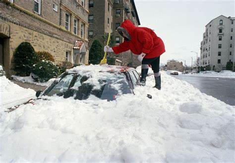
Luckily, like the 1993 storm, Jonas was a weekend event, which kept most people off treacherous roads so they could be cleared for essential workers and emergency personnel.
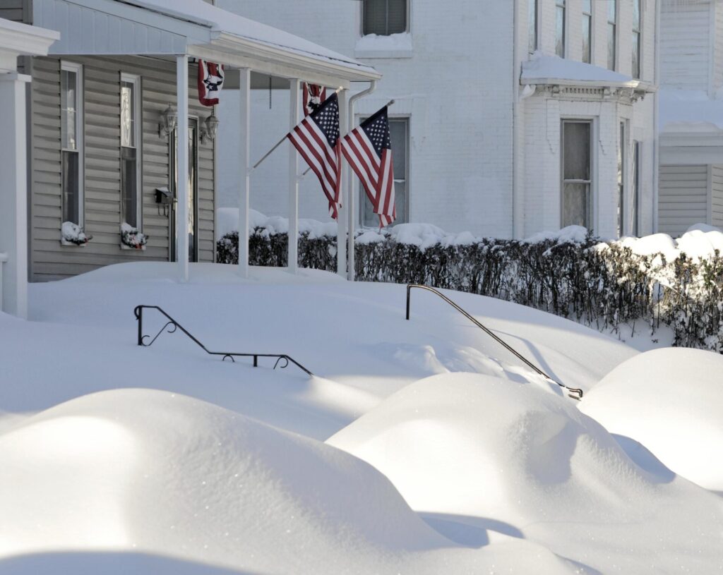
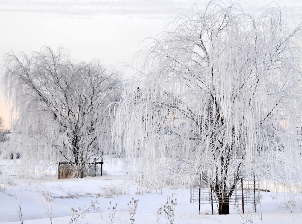
After Jonas passed, a scene on Waynesboro’s Second Street was striking. Cars sat idle, buried under gigantic mounds of snow. They appeared like toys inside a life-size snow-globe. Also following the storm, frigid temperatures combined with fog and deposited a fairytale coating of ice on local trees and fences. “It was a beautiful sight, like a postcard scene”, a farmer in Ringgold, Maryland said.

Some armchair weather enthusiasts called Jonas a “snow-icane”. Other official winter storm terms are often described by weather professionals who educate like teachers leading a public weather classroom. “Bomb Cyclone” and “Polar Vortex”, all suggest more drama than the simple, old-time term: blizzard. Regardless of descriptive idioms, these three storms set records and inspired jaw-dropping awe.
A confusing aspect of snowfall records is how these standards are defined. An all-time record can refer to most inches of snow on a single calendar date, or be a combined total for a storm that lasted several days. Other records are measured for seasonal totals. Because snowfall can fluctuate widely between localities (the Appalachian’s higher elevations are one deviating factor), one town’s snow record may vary significantly from a community only a few miles away.
In Franklin County, the highest official single day all-time total was recorded in Greencastle (30.0 inches) during the 2016 Jonas storm. The highest two-day and overall storm total fell on South Mountain with 34.0 inches in March, 1942. In Washington County, Maryland, the records are 31.0 inches in Clear Spring for a one-day total, and 36.0 inches at Edgemont for a multi-day storm.
This prior storm trio also inspires curiosity about this winter’s forecast. How much snow is predicted for 2023-24?
The National Weather Service (NWS) typically forecasts only 7-10 days in advance, but according to Jonathan Guseman, a Warning Coordination Meteorologist at the NWS State College office, they consider atmospheric trends when looking ahead. “This is an El Nino year and that can drive big storms to the region.”
Long term forecasts are the realm of the Climate Prediction Center (CPC), a sister agency to NWS. In October, they projected above average temperatures in the Northeast U.S. between December 2023 and February 2024. As for precipitation, the Cumberland Valley falls in a white zone on CPC’s color-coded map. But this hue doesn’t signify snowfall; it just symbolizes an equal chance for above- or below- average snowfall.
For a folksier winter weather forecast, many people have relied on Farmer’s Almanacs. Locally, the “Hagers-Town Town and Country Almanack” has been published since 1797; the second oldest almanac in the country. Past predictions were made based on some unique factors, including sunspot activity, planetary positioning, and tidal influences. They claim 85% accuracy and base their forecasts on three-day calendar periods.
The current weather prognosticator for Hagers-Town Almanack is Meteorologist Chad Merrill. In the Almanack’s 228th edition, Merrill predicts a mild start to this winter, but “a cold spell will bring wet snow possibilities from late January into early March.” He also anticipates seasonal snowfall totals will be less than the 30-year average of 25 inches and will accumulate in only one or two snow events.
Even if March 2024 starts cold and snowy, Merrill predicts a rapid warm-up later that month, possibly with record heat.
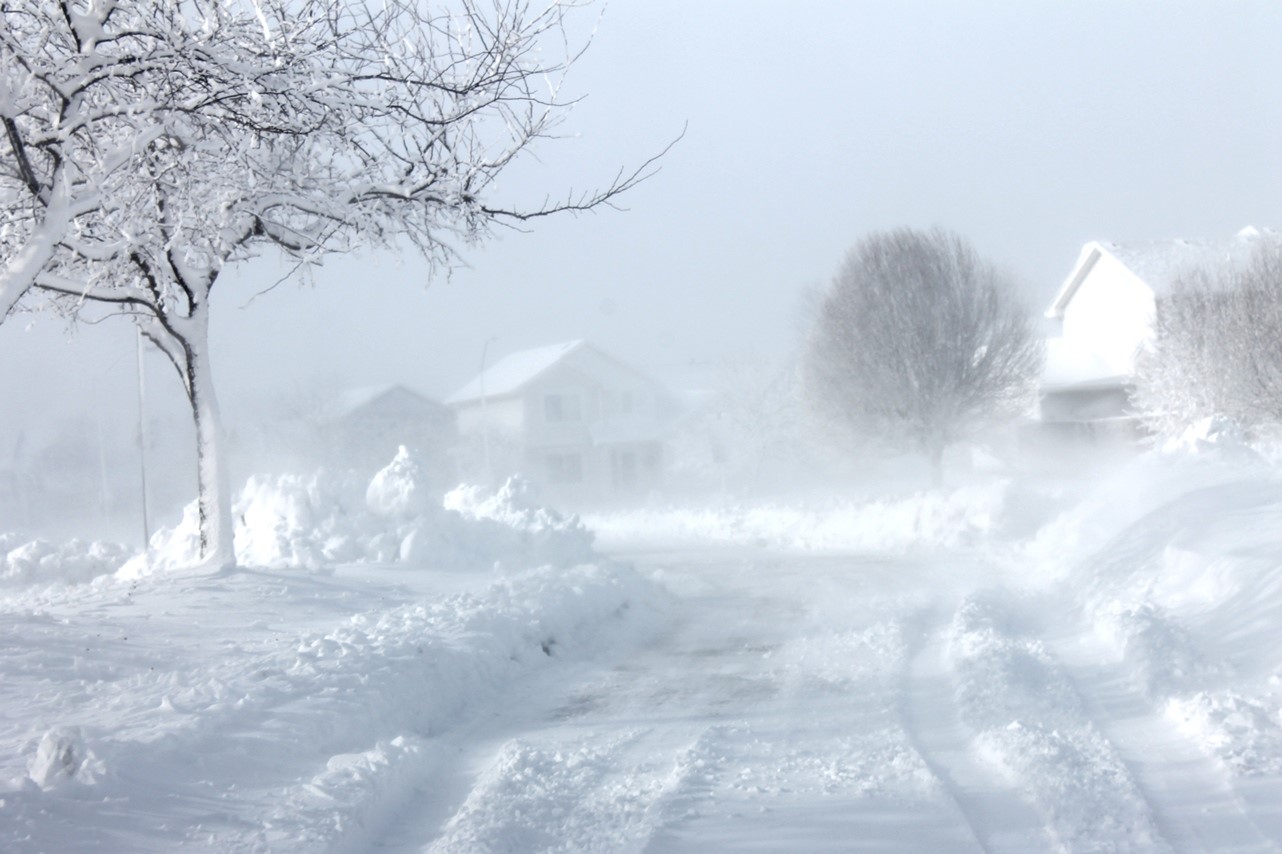
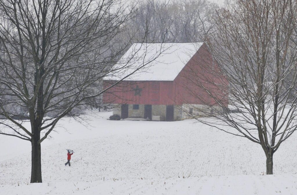
Despite the power and disruption that these three past storms generated, more common moderate snowfalls possess unique charms. A quiet stillness prevails after snow stops falling, with trees, homes, and fields blanketed in pure white. This atmosphere harkens back to a simpler time. Society once took this wintery cue to slow down and enjoy nature’s seasonal handiwork. Families helped neighbors and friends- creating memories shared for generations to come. Outside in powdery snow, adults sometimes played like children again. When the roads finally cleared and life returned to normal, there was community pride that together, they weathered the storm.