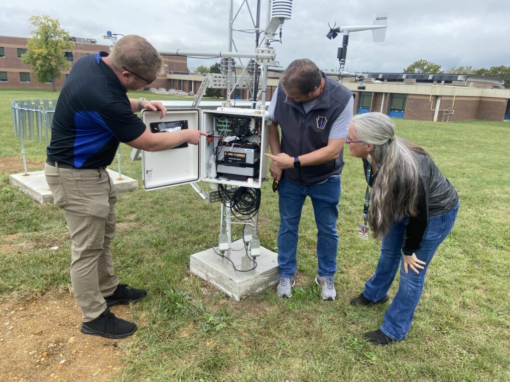
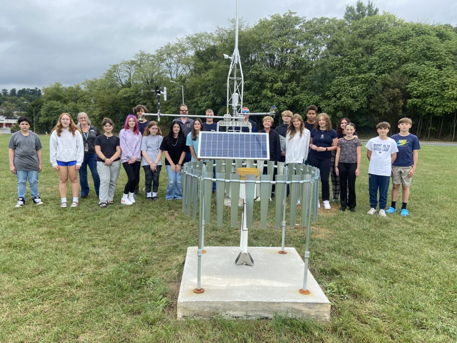
WAYNESBORO – An innovative technology is putting real time findings in students’ hands.
“They’re not reading from a textbook, but actually looking at data that affects their daily lives,” according to Keith McCray, instructional technology specialist for Waynesboro Area School District. He’s referring to the benefits of the new weather station located just outside Waynesboro Area Middle School along East Second Street.
The solar-powered center provides real-time measurements of temperature, humidity, precipitation, dew points, wind direction, wind speed and gusts, solar radiation, soil temperature and soil moisture. It also uses sonar to measure snowfall. “Lessons are being designed to give students experience with the station. They can be sitting in classrooms and looking at data from 30 seconds ago,” McCray added.
“We identified four different locations (on school district property) that were the best for height and openness. This is a great location and not blocked by any structures to get the best reading,” said Nic Erickson, director of technology for WASD. The site also can be easily accessed by students at Summitview Elementary School and Waynesboro Area Senior High School, which are physically nearby, as well as all students in the district, Erickson added.

The weather station will send real time data to the National Weather Service and the Pennsylvania Emergency Management Agency. The district will house it for at least 30 years, but it will be owned and maintained by Penn State University’s Meteorology and Atmospheric Science Department. The site in Waynesville district is the 25th of 50 planned statewide.
The emergency management agency already can look at river levels provided by gauges in creeks and rivers and view hydraulic predictions, Erickson said. However, the amount of rain that falls locally, dew points and wind gusts can also provide warnings before waterways overflow their banks, he added.
The station uses a cellular connection to transmit data every minute. A camera mounted on the tower, facing west, will allow scientists to see approaching storms or sunny skies. “There is no camera image as of yet because they are working to integrate a new camera model into the system,” noted Erickson.
McCray first learned about the station while attending a conference at Shippensburg University for Keystone Technology Innovators. “While I was there I spoke to another attendee who put me in contact with Penn State about this project. I reached out to the professor and said we are interested in housing one of these stations. He came down, surveyed the area and said we were a good fit.”
The district provides access to the site for students and teachers using its ClassLink LaunchPad, followed by access for the public on the school district website,” Erickson said.
“I’m most excited about partnering with Penn State, the Emergency Management Agency and other agencies throughout the state and nation to provide real time data for flood prediction and notification as well as having the station on school district property. Teachers can utilize this data in real time during classes and in their curriculum,” Erickson added.
“Students can look to see different patterns in the weather, not siloed, and at the cause and effect of weather patterns and take those strategies into other content areas,” McCray said. “They can use those same techniques to analyze literature, the cause and effect for great moments in U.S. and world history, and math … what causes numbers to react the way they do, as well as in sequencing and chronological order. I wasn’t great in math, but once I started to see connections in history, which I love, I was able to pull from another area of interest and apply it to other areas that I maybe wasn’t so interested in … that strategy will work for our students too.”


