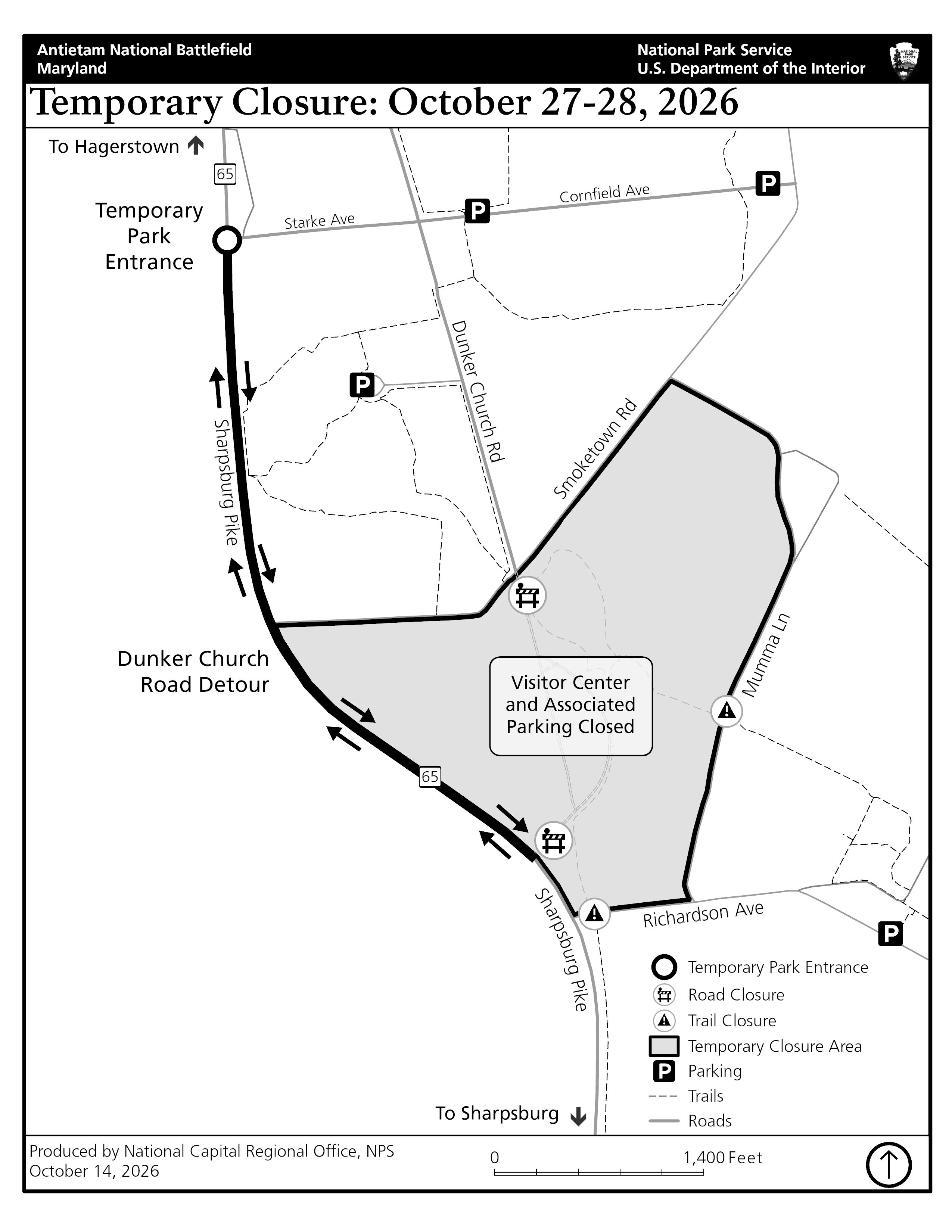
SHARPSBURG, Md. — Visitors to Antietam National Battlefield should plan for temporary closures of the visitor center, Dunker Church and nearby roads and trails beginning Oct. 27 while Marine Corps Explosive Ordnance Disposal specialists remove old ammunition from the base of the O.T. Reilly Monument. Closures may continue Oct. 28.
Marine Corps Explosive Ordnance Disposal specialists from Marine Corps Base Quantico will remove 10 pieces of cannon ammunition embedded in the monument’s concrete base. Because the ammunition might still contain explosives, the work will not be open to public viewing. Under the current plan, specialists will transport the ammunition to Quantico, where it will be rendered safe or disposed of.
Sharpsburg resident and local guide O.T. Reilly placed the ammunition from his personal collection in the base of the monument in the 1920s, when the land was privately owned. The National Park Service acquired the land in 2022.
The monument will be lifted from its base and stored for preservation work. After specialists remove the ammunition, crews will build a new base and return the monument to its original location.
Other battlefield areas will remain open. Readers may check nps.gov/anti or call 301-432-5124 before traveling for closure and reopening updates.
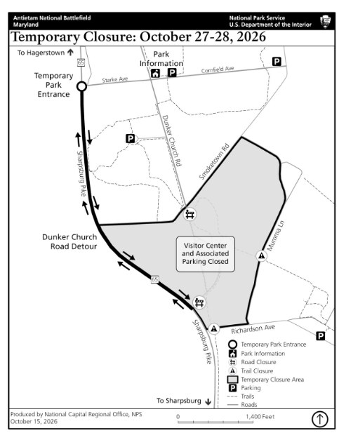
During the closures, visitors can park and get information at a temporary visitor information station where Dunker Church Road, Starke Avenue and Cornfield Avenue meet. Groups with planned visits should call the park before traveling.
The following roads, trails and facilities will close:
- Antietam National Battlefield Visitor Center.
- Dunker Church.
- Dunker Church Road between Maryland Route 65 and Smoketown Road.
- Antietam Remembered Trail.
- The trail connecting the visitor center to the Bloody Lane Trail.
Detours and electronic roadside signs will guide drivers around the road closure. Visitors should review the closure map before arriving, follow posted signs and staff directions and stay outside closed areas.