


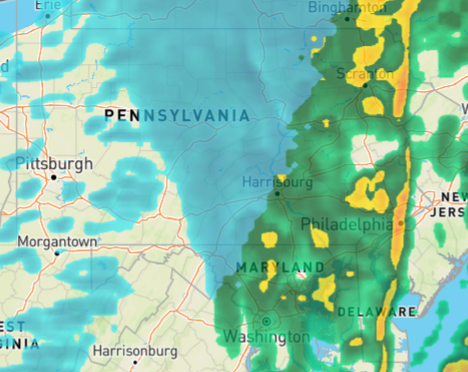
The National Weather Service canceled the Tornado Watch for the region Monday evening as the strongest storms shifted east. Earlier showers and thunderstorms helped to ease the severity of the weather system that moved through.
Meteorologists said the initial round of rain between late morning and early afternoon stabilized the atmosphere, preventing stronger storm development later in the day. While some isolated wind damage was reported, the area avoided more widespread severe weather.
A cold front continued to move through the region Monday evening, bringing showers and gusty conditions. Wind gusts between 50 and 60 mph were possible into the late evening hours, officials said. Residents were urged to secure outdoor items until winds subside.
By late evening, falling temperatures were expected to bring a brief mix of snow or sleet before conditions turn colder and quieter for the rest of the week. Forecasters said a stretch of dry weather and below-normal temperatures will follow the front’s passage.