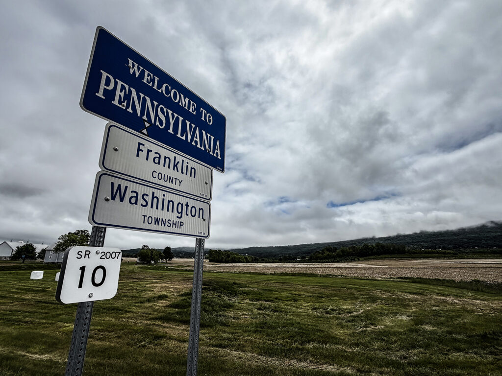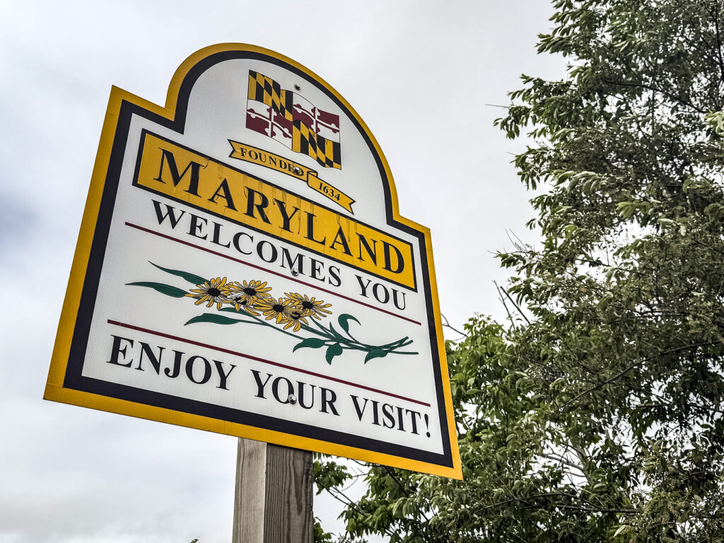
What was once a boundary to dissolve a border dispute between British colonies in the 1760s, the Mason-Dixon Line, is today a cultural symbol of the separation of the northern and southern United States.
In the early 1730s, Pennsylvania and Maryland each stated they owned land between the 39th and 40th parallel which became known as the Delaware Colony remotely governed by Pennsylvania. In 1732 Maryland’s governor, Charles Calvert, 5th Baron Baltimore, signed an agreement with William Penn’s sons which drew a line somewhere in between the 39th and 40th parallel and renounced Calvert’s claim to Delaware.
Settlers to the area with loyalties to Pennsylvania or Maryland started disputes that led to Cresap’s War. This war between Pennsylvania and Maryland militias lasted from 1730 until 1767 when King George II ended the dispute by establishing the Mason-Dixon line.
The boundaries of the states of Delaware, Pennsylvania, and Maryland were established. The Delaware Colony was dissolved as it was no longer an annex of Pennsylvania. In 1760, Calvert was ordered by King George II to agree to the 1732 agreement of establishing boundaries for Pennsylvania and Maryland.
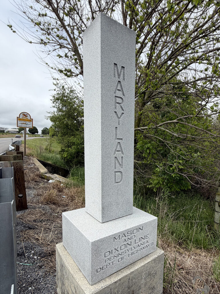
Under the 1732 agreement, the Penns of Pennsylvania and Calvert of Maryland commissioned a pair of Englishmen, Charles Mason and Jeremiah Dixon, to survey the newly established boundaries between the Province of Pennsylvania, the Province of Maryland, Delaware Colony and parts of Colony and Old Dominion of Virginia.
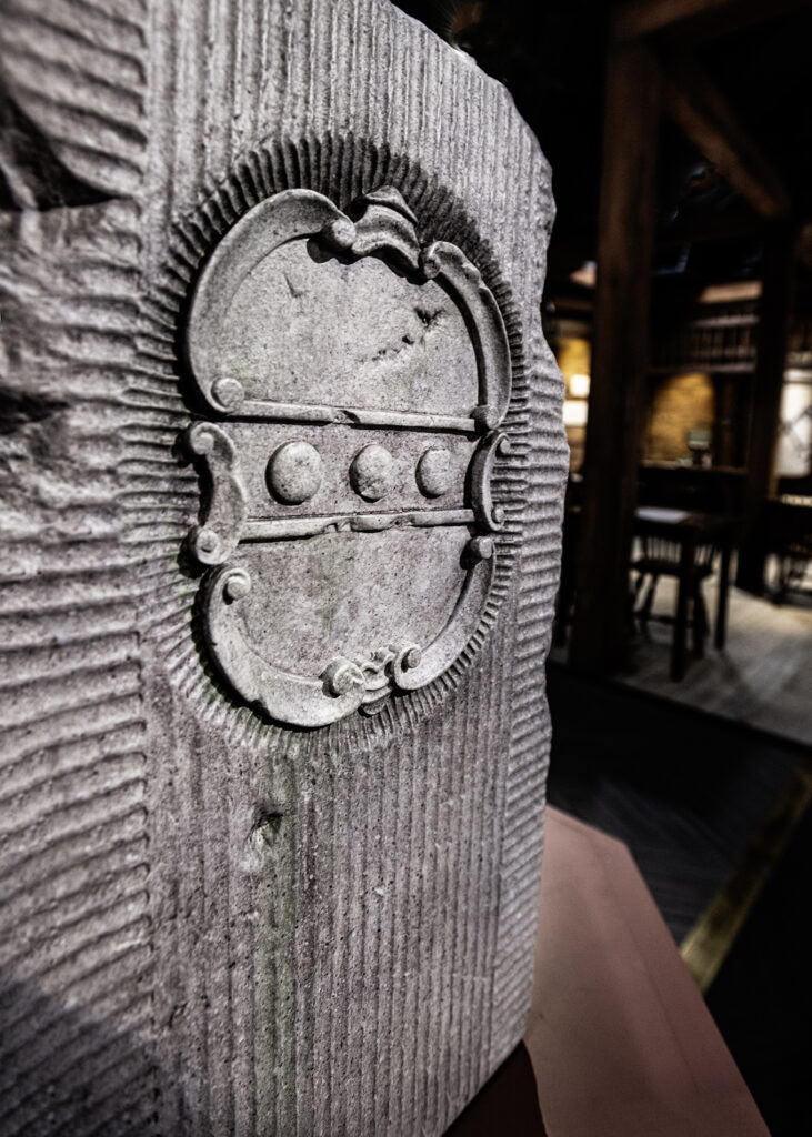
The Mason-Dixon Line was marked by stones every mile and “crownstones” every five miles, using stone shipped from England. The Maryland side says (M) and the Delaware and Pennsylvania sides say (P). Crownstones include the two coats-of-arms.
Today, while a number of the original stones are missing or buried, many are still visible, resting on public land and protected by iron cage-like works.
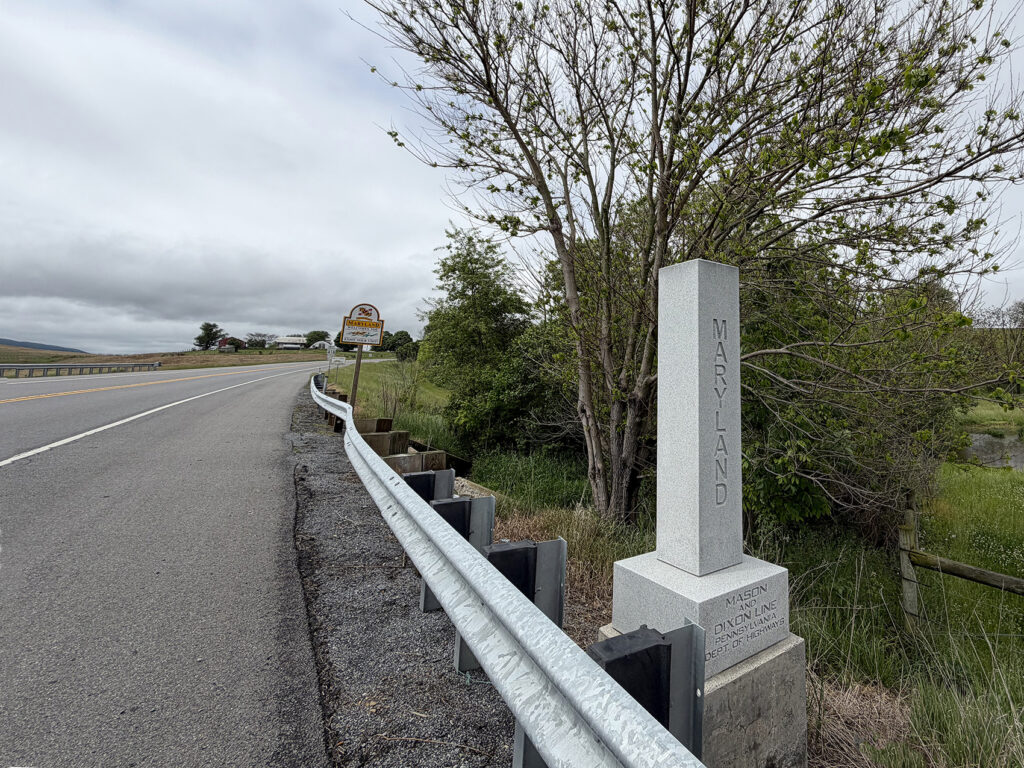
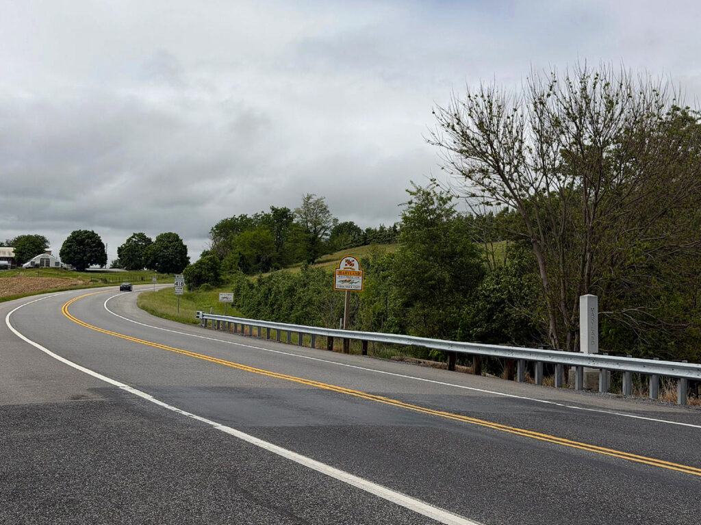
The original Mason-Dixon line was surveyed from 1763-1767. This boundary line was twice again surveyed in 1849 and 1900. During the 1800s, the Mason-Dixon line was known as the boundary between “slave states” and “free states.”
Today, the Mason-Dixon line serves as a reminder of how the early states fought for control and expansion of their territories and as a symbol of freedom for enslaved people.